Subscription

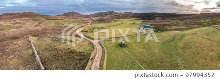
Stock Photo: Aerial view of the track to Agnish Lough by Maghery, Dungloe - County Donegal - Ireland.

Item number : 97994352 See all

This Stock Photo, whose title is "Aerial view of the track to Agnish Lough by..."[97994352], includes tags of road, sea, path. The author of this item is Lukassek (No.913062). Sizes from S to XL are available and the price starts from US$5.00. You can download watermarked sample data (comp images), check the quality of images, and use Lightbox after signing up for free. See all

Aerial view of the track to Agnish Lough by Maghery, Dungloe - County Donegal - Ireland. 97994352

Aerial view of the track to Agnish Lough by Maghery, Dungloe - County Donegal - Ireland.

  • 1:1
  • 4:3
  • 4:5
    (8:10)
  • 3:2(6:4)
  • Custom
    :

Scale

* You can move the image by dragging it.

S
  • 640 x 202px
  • 22.6 x 7.1cm (72dpi)
JPG US$5.00
M
  • 2000 x 632px
  • 16.9 x 5.4cm (300dpi)
JPG US$15.00
L
  • 4000 x 1264px
  • 33.9 x 10.7cm (300dpi)
JPG US$30.00
XL
  • 14120 x 4463px
  • 119.5 x 37.8cm (300dpi)
JPG US$50.00
Ex Add an Extended License +US$30.00
Total :
Design with this image

With this editor tool,
you can create a design with PIXTA items before purchasing.
Click here for details.

Stock Photo: Aerial view of the track to Agnish Lough by Maghery, Dungloe - County Donegal - Ireland. tags

road  sea  path  track  agnish  lough  lake  maghery  donegal  dungloe  ireland  aran  above  county  aerial  destination  atlantic  head  coastline  crohy  knockfola  island  travel  ocean  eye  single  view  eire  wild  way  inishkeeragh  sand  dry  waves  church  border  pinnacle  cliffs  meenacross  sign  tower  arranmore  stone  signal  property  wall  ruin  inishfree  beach 
Description / Comment
Aerial view of the track to Agnish Lough by Maghery, Dungloe - County Donegal - Ireland