Subscription

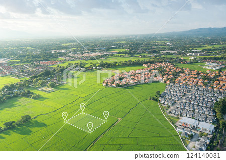
Stock Photo: Land plot in aerial view and concept of real estate or property.

Item number : 124140081 See all

This Stock Photo, whose title is "Land plot in aerial view and concept of real..."[124140081], includes tags of aerial, drone, field. The author of this item is LovePHY (No.676115). Sizes from S to XL are available and the price starts from US$5.00. You can download watermarked sample data (comp images), check the quality of images, and use Lightbox after signing up for free. See all

Land plot in aerial view and concept of real estate or property. 124140081

Land plot in aerial view and concept of real estate or property.

  • 1:1
  • 4:3
  • 4:5
    (8:10)
  • 3:2(6:4)
  • Custom
    :

Scale

* You can move the image by dragging it.

S
  • 640 x 426px
  • 22.6 x 15.0cm (72dpi)
JPG US$5.00
M
  • 2000 x 1332px
  • 16.9 x 11.3cm (300dpi)
JPG US$15.00
L
  • 4000 x 2664px
  • 33.9 x 22.6cm (300dpi)
JPG US$30.00
XL
  • 5464 x 3640px
  • 46.3 x 30.8cm (300dpi)
JPG US$50.00
Ex Add an Extended License +US$30.00
Total :
Design with this image

With this editor tool,
you can create a design with PIXTA items before purchasing.
Click here for details.

Stock Photo: Land plot in aerial view and concept of real estate or property. tags

aerial  drone  field  area  asset  buy  cultivated  cultivation  direction  estate  farm  food  gps  green  greenpark  growth  harvest  home  house  icon  industry  land  land for sale  land lot  land plot  landscape  lawn  location  lots  map  natural  nobody  owned  paddy  park  pin  plantation  plot  property  real  real estate  sale  scene  scenic  side  sign  summer  symbol  view 
Description / Comment
Land plot in aerial view. Identify registration symbol of vacant area for map. Real estate or property for business of home, house or residential i.e. construction, development, sale, rent, buy.