
Subscription
Stock Illustration: Map of Kyoto city (Shinjuku/Shimogyo) during the Warring States period (early Tensho era)
Item number : 66547793 See all
This Stock Illustration, whose title is "Map of Kyoto city (Shinjuku/Shimogyo) during..."[66547793], includes tags of the Warring States period, kyoto, going to tokyo. The author of this item is katsu20161330 (No.718781). Sizes from S to XL are available and the price starts from US$5.00. You can download watermarked sample data (comp images), check the quality of images, and use Lightbox after signing up for free. See all
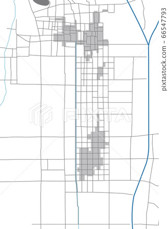
Map of Kyoto city (Shinjuku/Shimogyo) during the Warring States period (early Tensho era)
Scale
* You can move the image by dragging it.


Credits(copyright) : katsu20161330 / PIXTA
See more about this item
- About Model and Property Release
- Views : 1,869
- Past purchases : Yes
- Contact Contributor to Ask About This Item