Subscription
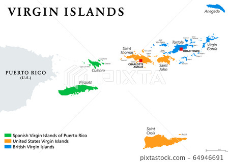
Stock Illustration: Virgin Islands map with political jurisdictions. British, Spanish and U.S. Virgin Islands in the Caribbean. British overseas territory and unincorporated territories of the USA. Illustration. Vector.
Item number : 64946691 See all
This Stock Illustration, whose title is "Virgin Islands map with political..."[64946691], includes tags of virgin islands, map, vector. The author of this item is Peter Hermes Furian (No.362672). Sizes from S to XL including Vector are available and the price starts from US$5.00. You can download watermarked sample data (comp images), check the quality of images, and use Lightbox after signing up for free. See all
Virgin Islands map with political jurisdictions. British, Spanish and U.S. Virgin Islands in the Caribbean. British overseas territory and unincorporated territories of the USA. Illustration. Vector.
Scale
* You can move the image by dragging it.
Credits(copyright) : Peter Hermes Furian / PIXTA
- About Model and Property Release
- Views : 1,306
- Past purchases : No
- Contact Contributor to Ask About This Item
