
Subscription
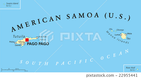
Stock Illustration: American Samoa Political Map
Item number : 22955441 See all
This Stock Illustration, whose title is "American Samoa Political Map"[22955441], includes tags of vector, american samoa, american. The author of this item is Peter Hermes Furian (No.362672). Sizes from S to XL including Vector are available and the price starts from US$5.00. You can download watermarked sample data (comp images), check the quality of images, and use Lightbox after signing up for free. See all


Credits(copyright) : Peter Hermes Furian / PIXTA
See more about this item
- About Model and Property Release
- Views : 402
- Past purchases : No
- Contact Contributor to Ask About This Item