Subscription
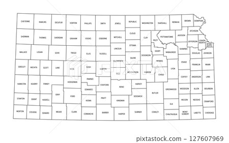
Stock Illustration: State of Kansas, subdivided into 105 counties, political map with borders and county names. State in the Midwestern region of the United States, nicknamed The Sunflower State, and The Wheat State.
Item number : 127607969 See all
This Stock Illustration, whose title is "State of Kansas, subdivided into 105 counties,..."[127607969], includes tags of map, united states, vector. The author of this item is Peter Hermes Furian (No.362672). Sizes from S to XL including Vector are available and the price starts from US$5.00. You can download watermarked sample data (comp images), check the quality of images, and use Lightbox after signing up for free. See all
State of Kansas, subdivided into 105 counties, political map with borders and county names. State in the Midwestern region of the United States, nicknamed The Sunflower State, and The Wheat State.
Scale
* You can move the image by dragging it.
Credits(copyright) : Peter Hermes Furian / PIXTA
- About Model and Property Release
- Views : 22
- Past purchases : No
- Contact Contributor to Ask About This Item
